
Off the beaten path in Hong Kong

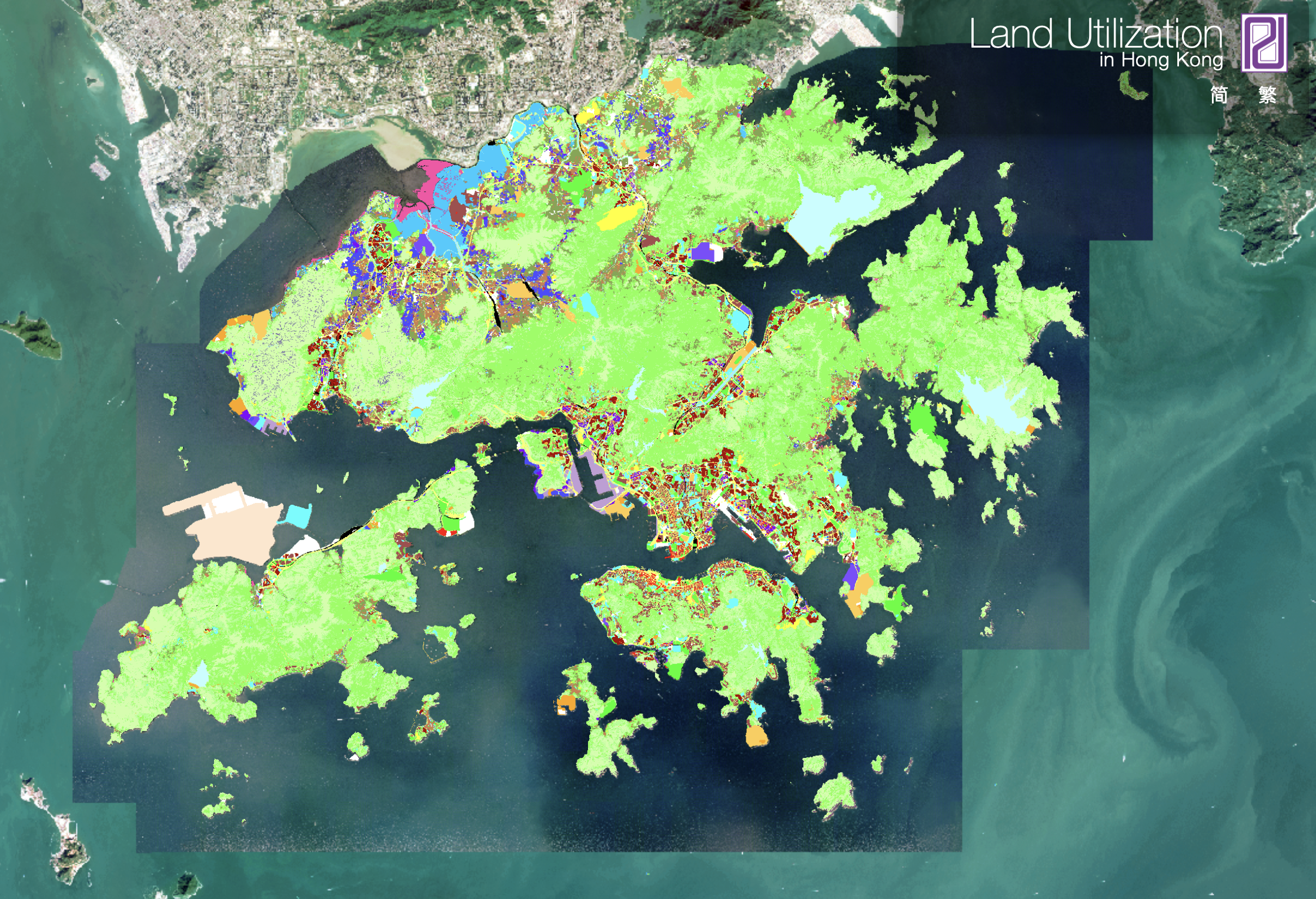
Hong Kong has a reputation as a crowded city with dense housing. People and buildings are packed in like sardines. What if I told you out of Hong Kong's 1,119 square kilometers of land, residential housing only takes up 81 square kilometers of that. Hong Kong's over 7.5 million population lives on just 7% of the land. That means there's a lot to explore outside of the populated areas.
Unfortunately, exploring many of these places can be complicated or difficult by public transport and expensive by taxi. Because of this, very few visitors and most long time residents rarely get off the beaten path. Since I've recently purchased a car, I've taken to bringing friends that visit from abroad to some of these out of the way places that give people a different perspective on both Hong Kong and its position within the One Country, Two Systems framework.
One of these places is the Lok Ma Chau Loop. This is a piece of land that prior to the 1997 handover was part of Futian District in Shenzhen but was transferred to the then newly created Hong Kong Special Administrative Region. It's basically an island between the straightened Shenzhen River on the north and the canal the follows the previous path of the Shenzhen River on the south. This land was mostly unused until Covid when the Central Government build a temporary "emergency" hospital on part of it. But most recently it's been designated as the heart of Hong Kong's "Northern Metropolis" development project and a cross-border science and technology park is being built there. In the future, the Hong Kong side of the park will be connected by pedestrian bridges and a future cross border MTR (Hong Kong's subway) line that terminates in the Hong Kong side of the newly opened Huanggang port building in Shenzhen.
This area is interesting for a number of reasons. It gives you an up-close look at the physical integration of Hong Kong with the rest of the Greater Bay Area. You also get to see the stark contrast between the Hong Kong side of the boundary which is still largely wetlands and fish farms and one of China's most advanced cities' central business district.
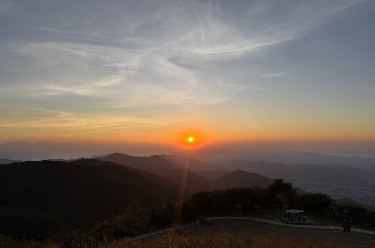
I also like to take people on the drive from there up to the top of Hong Kong's tallest mountain, Tai Mo Shan. This accomplishes a few things. First, it gives a bird's-eye view of the entire Greater Bay / Pearl River Delta area. On a clear day, you can all of urban Shenzhen and almost to Dongguan in the north. To the west, you can see all of Hong Kong's largest island, Lantau Island, the Hong Kong-Zhuhai-Macau Bridge and Macau and Zhuhai on the other side of the river delta. To the southwest you can see part of Kowloon and Hong Kong Island, Hong Kong's port area, Stonecutters Bridge and as far as Lamma Island at the southern limits of the Hong Kong SARs water boundary. Second, it gives one a sense of how easily accessible and prevalent real (not artificially grown and manicured) nature is in Hong Kong. And third, it visually drives home the point that there's actually tons of unused or poorly used land in Hong Kong and that the small housing size and high prices is a function of land policy choices and not lack of land.